Relational Maps for Time Travel and Collective Action

"It was all right for the banks to suspend payment in 1837, [Bennett] remarked editorially. It was always all right for bankers, financiers, and merchants to suspend debts, because they could always get the laws made to order."
Sound familiar? James Gordon Bennett was lampooning the landlords in the New York Herald. The year was 1839, which saw the first skirmishes of upstate New York's Anti-Rent Wars. After that paraphrase, Henry Christman quotes Bennett directly:
"'But for the ignorant big-breeched Dutchmen of the hills to suspend paying their rents is a big crime to the noble Van Rensselaers. None but the educated, the refined, the financial, the brokers, the great commercial interests of society have a right to suspend their debts'" (Tin Horns and Calico, 37-38).
The Anti-Rent movement feels increasingly relevant to me. Thousands of farmers across thousands of acres—without modern communication technology—united for years to assert their collective will. It's inspiring.
I'm also finding an unexpected solace in visiting land my 19th century ancestors farmed and were buried beneath. The country drive offers respite from my compact urban neighborhood and the rattle and clash of the daily news cycle. I'm drawn to luxuriate in fall colors because soon, temperatures will drop, days will shorten, and skies will become overcast.
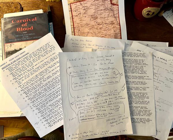
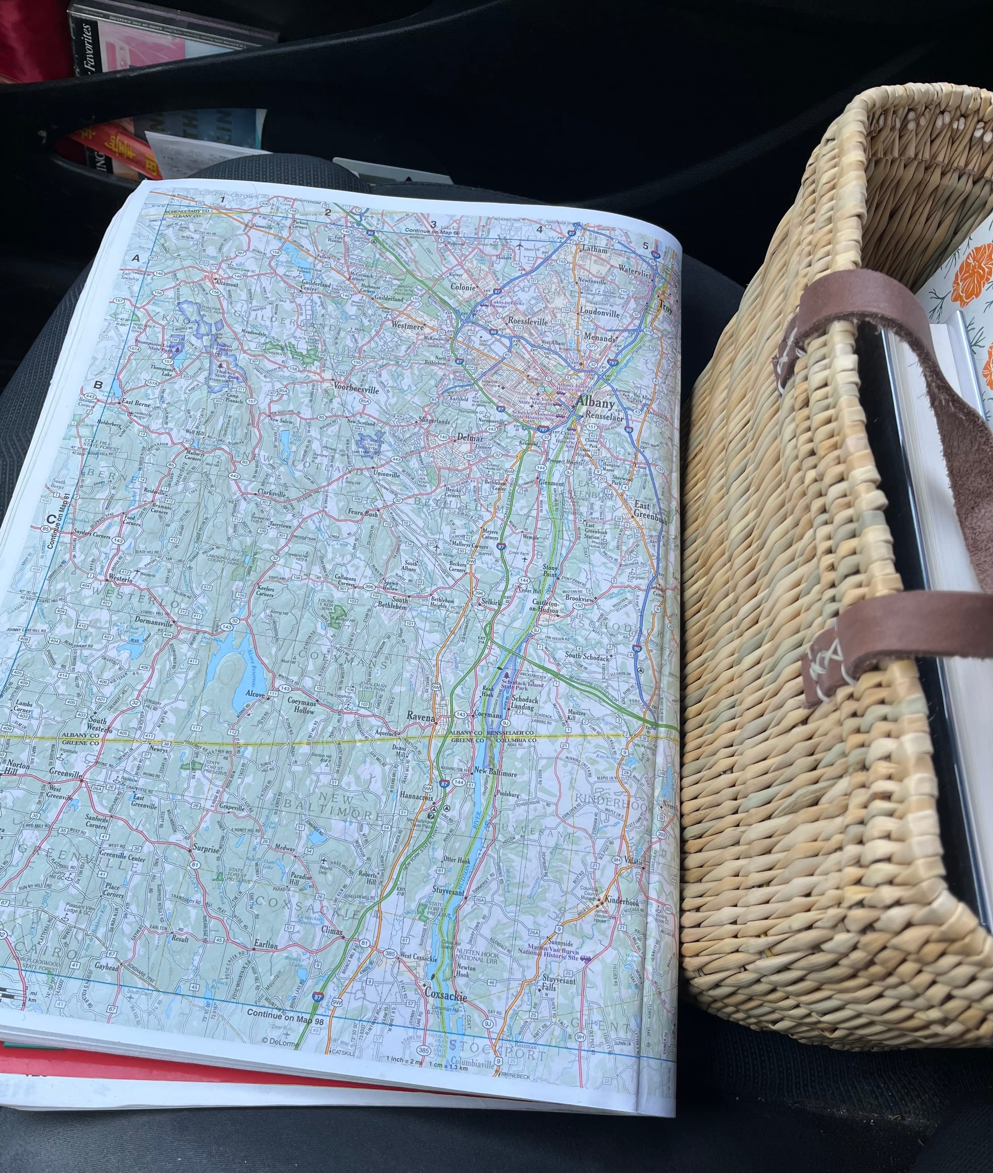
Before heading for the hills today, I'd consulted several different maps. Though I'm grateful that phone navigation makes exploration more convenient, there are definite shortfalls. Compared to the days of paper maps, it's easier to get to your destination. But there's a cognitive price.
I find it much harder to build mental maps of the relationships between places in the landscape when only a small square of locale is in displayed. I want to understand those spatial relationships; they help me understand the human relationships within them.
Lately, I've been trying to build these relational maps in both space and time.
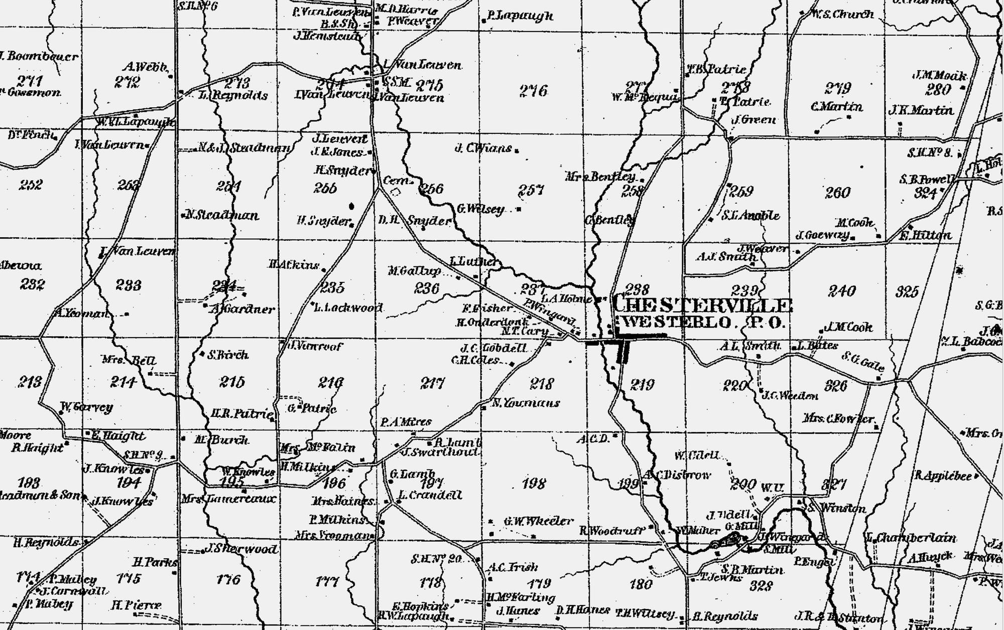
As I described two weeks ago, I've managed to track plot 180 from the family's first acquisition of it in 1814, through their relinquishing of claims in 1873. But I'm still trying to identify the actual location of plot 257, farmed by my great-great-great uncle Ezekiel. I haven't yet learned when it left the family's hands.
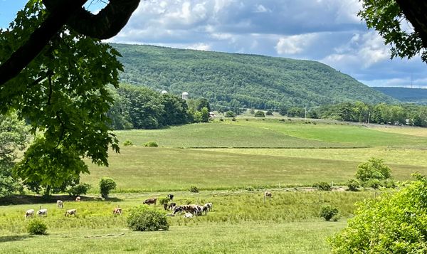
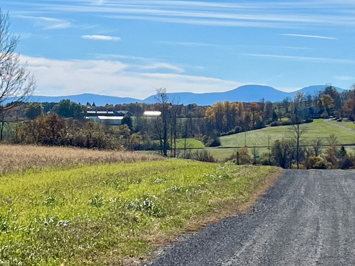
Last Wednesday, I followed what I thought was the only road into the area between the creek's branches, to plot 257. Here's what I found.
Members of the Wilsey family may have been farming here as early as 1799. Still farmland, with very few houses, and a strong sense of being untouched by intervening years.
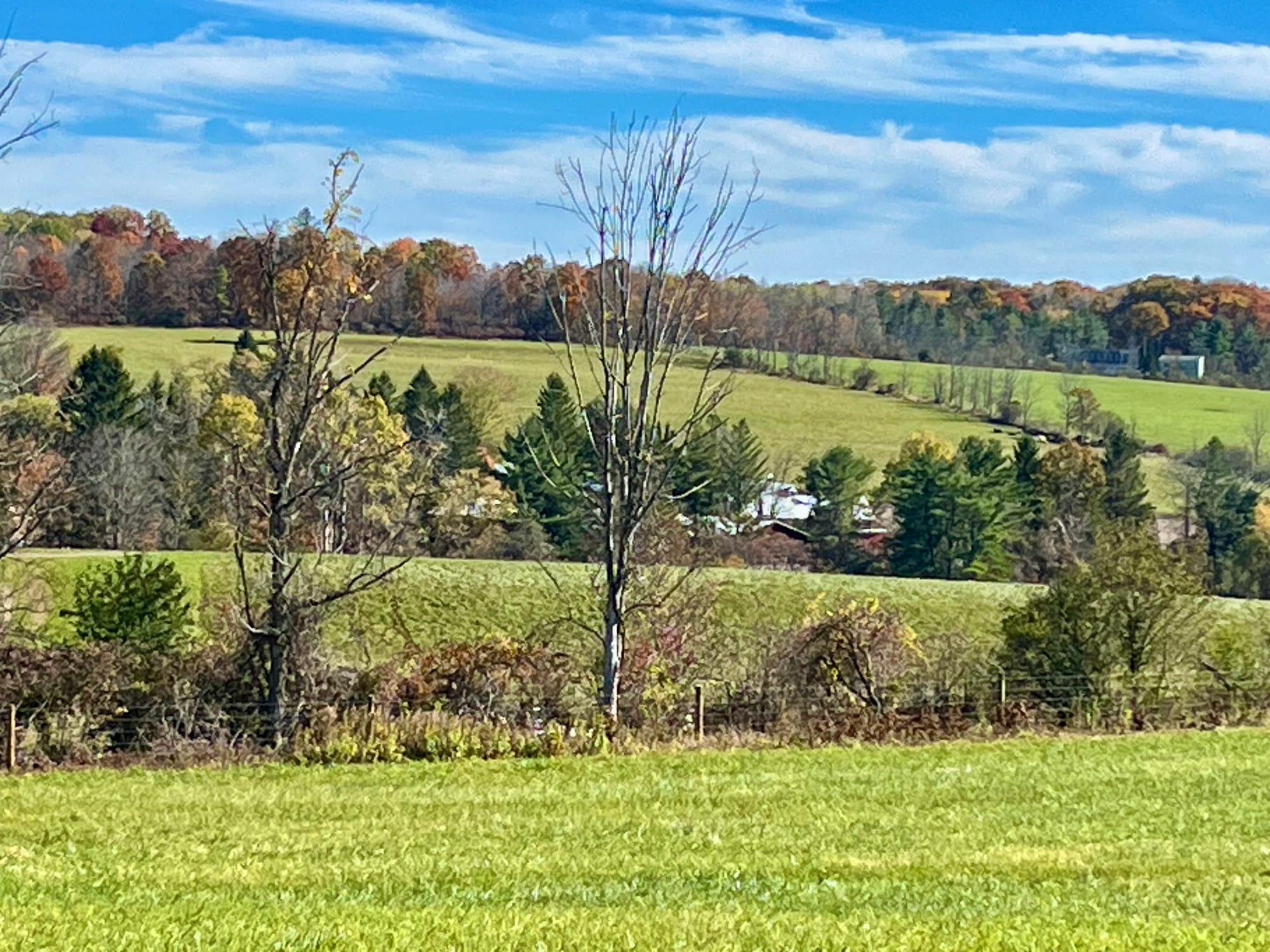
When a farmer in a pickup truck rolled past me from the other end of the road, it was hard not to feel like a trespasser. I half expected him to back up and flag me down to find out my business there.
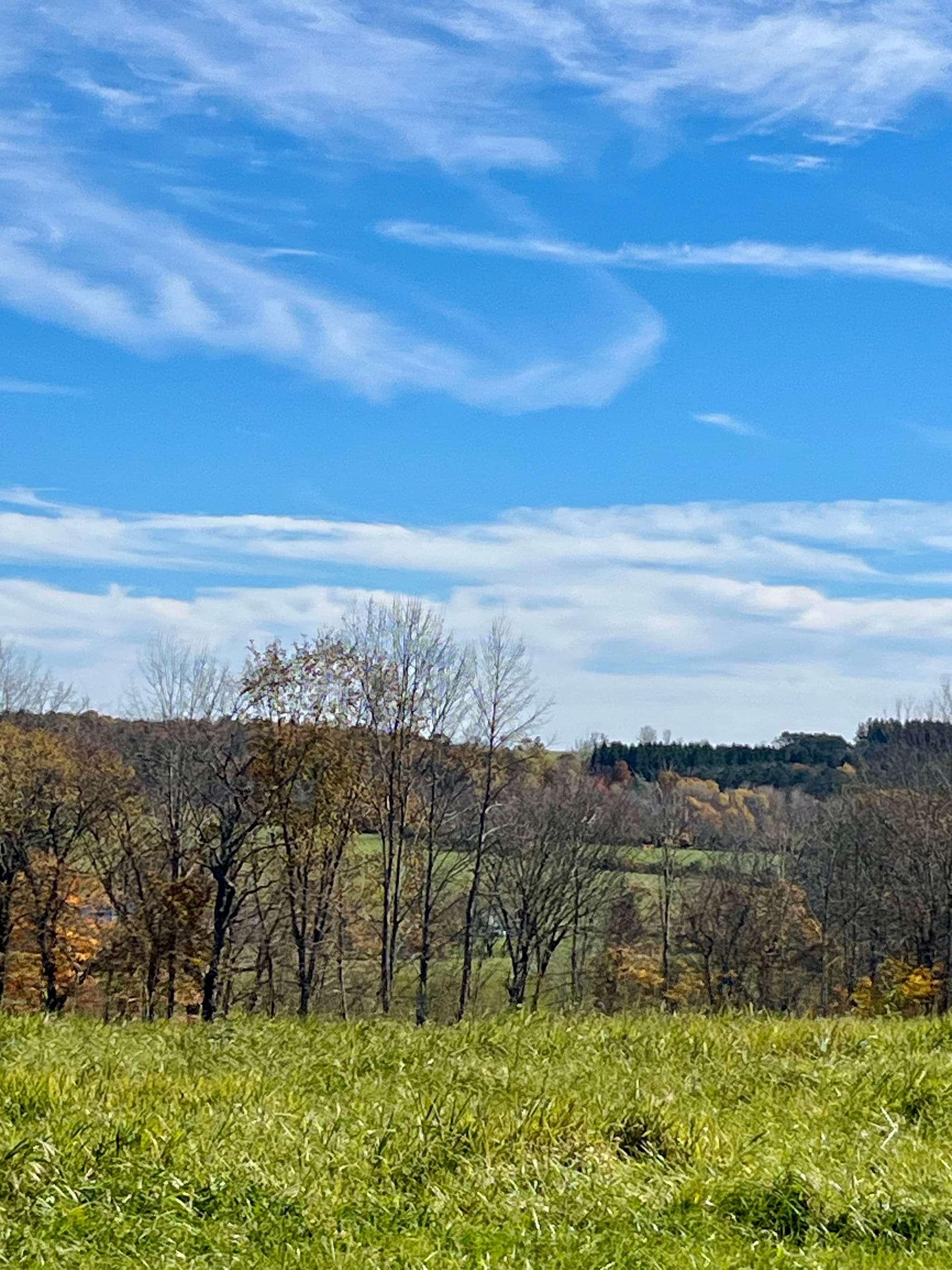
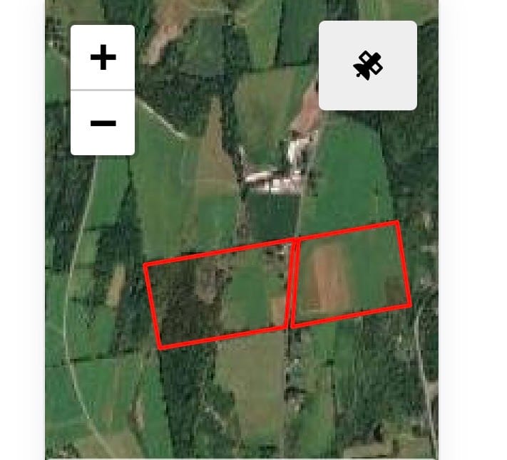
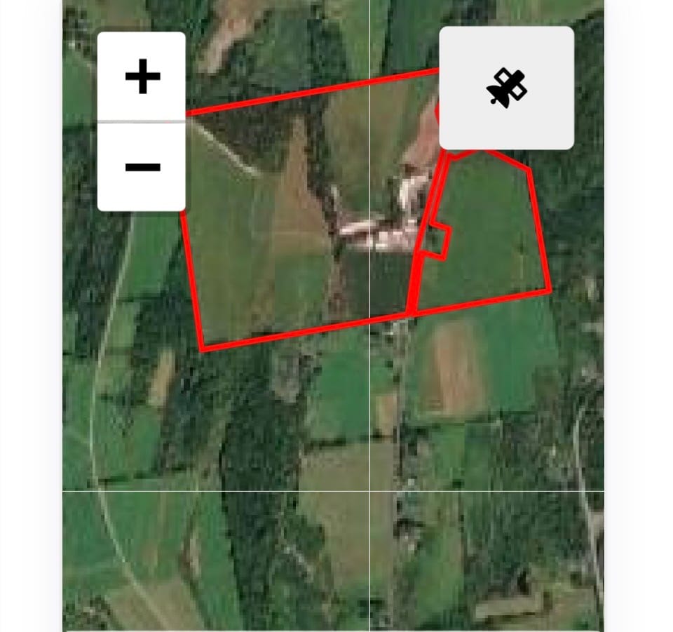
Could this dead end road be the sole access to Ezekiel's land? I went home and looked at my Delorme and some online maps. These led me to Robinson's lane.
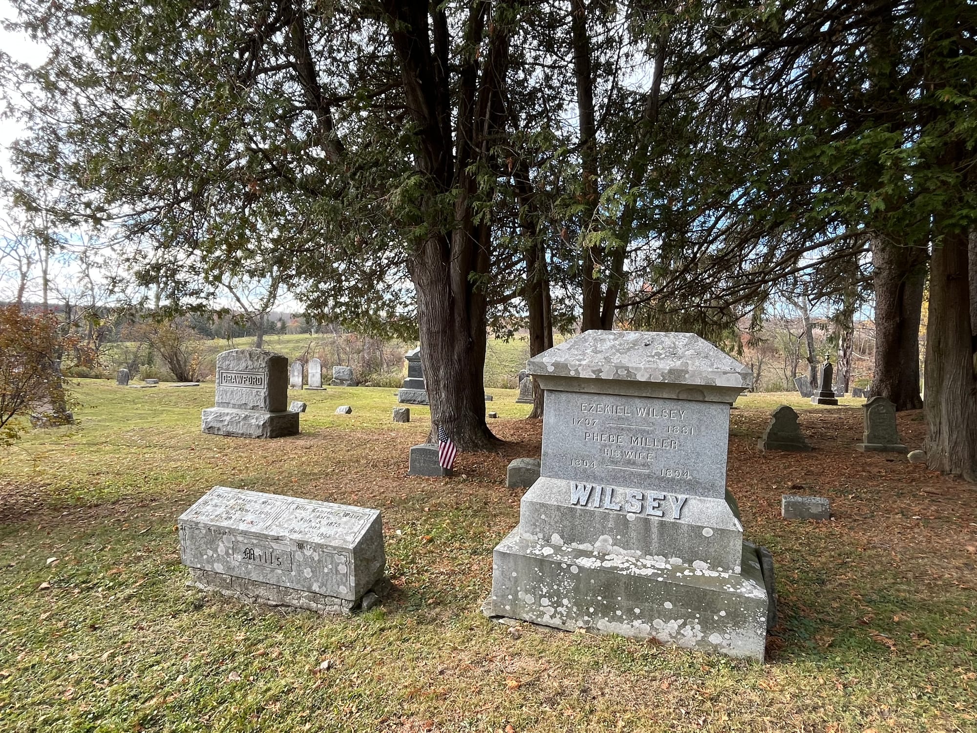
That turns off just north of Westerlo Rural cemetery, where Ezekiel's family is buried. Realizing this made the relationships between the spaces start to cohere and become legible for me.
Family patriarch Henry Isaac and his wife Maria seem to have shared plot 180 with son Isaac and his wife Rebecca, next to the road into the small hamlet of Westerlo. Now I believe that the rural cemetery further up the road—which I'd visited earlier without being well-oriented—is very near Ezekiel's land.
On my visit today, I began to suspect I could see his farm from his family plot. Wow.
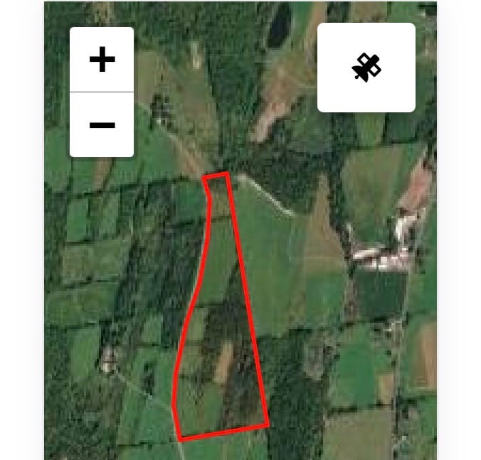
Also wow: my discovery is partly due to the multiple ways this area is now visible to me. I've sometimes used Google map's street view to take a "virtual drive" down roads before venturing out to these sites. But this week, I discovered online property maps that allowed me to study aerial views near Robinson's Lane prior to exploring.
I'm not certain, but these plots all appear likely to be part of the original farm.
Driving through this area, I found myself imagining how Eliphalet, Ezekiel, and their many siblings experienced the place. I'd love to slow down to the pace of horse-drawn cart, but even with the few cars on the road, I don't dare try it.
Westerlo is 1,000 feet above the level of Albany. It's a long, steady climb up. I enjoy picturing Henry Isaac, at year's end, driving his cartload of wheat and chickens down to the lord of the manor to pay his rent in the early 1800s. Or the Irish land activist, Thomas Ainge Devyr, walking back and forth to rally the Helderberg tenant farmers in their rent strike in the 1840s.
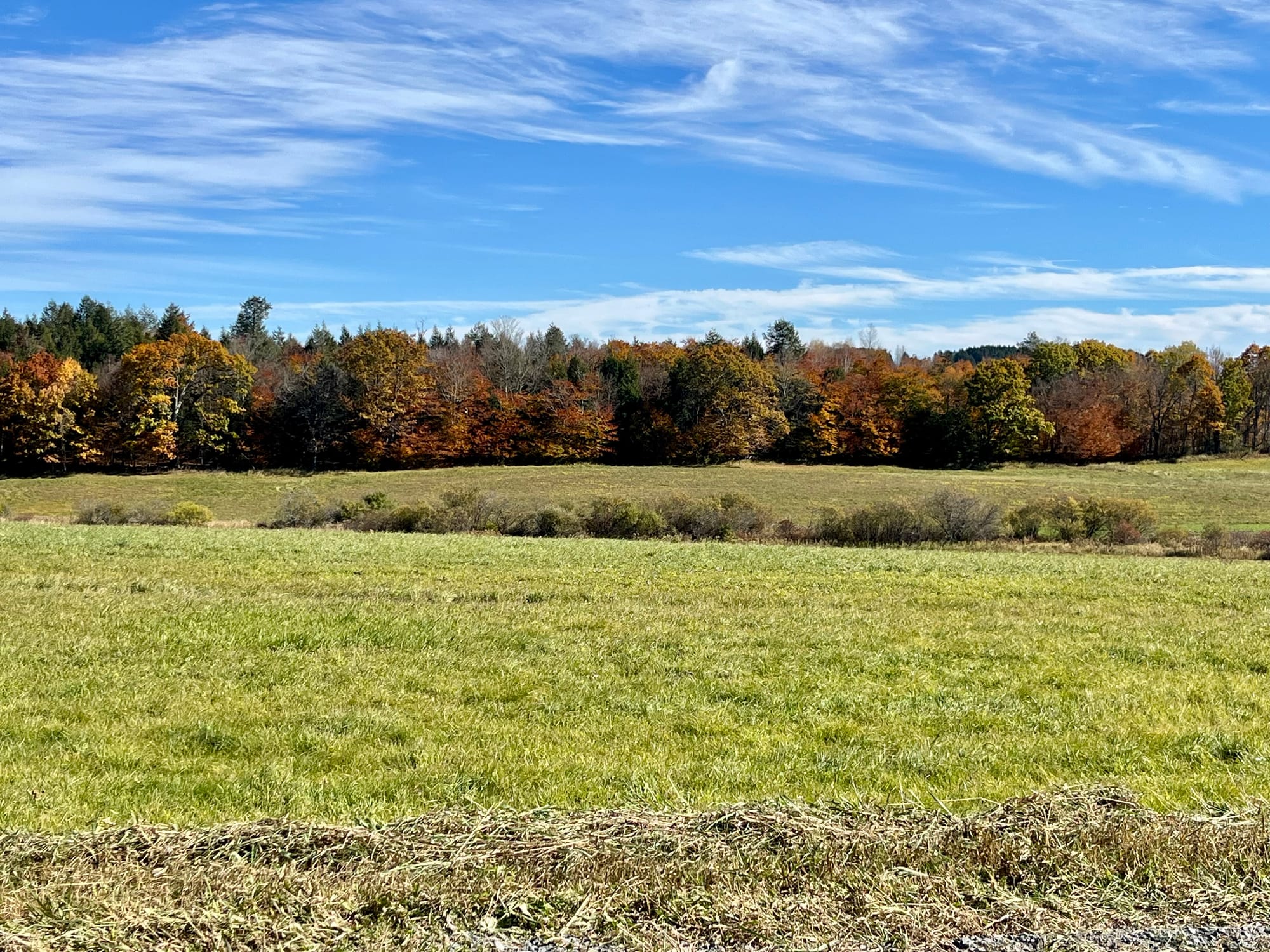
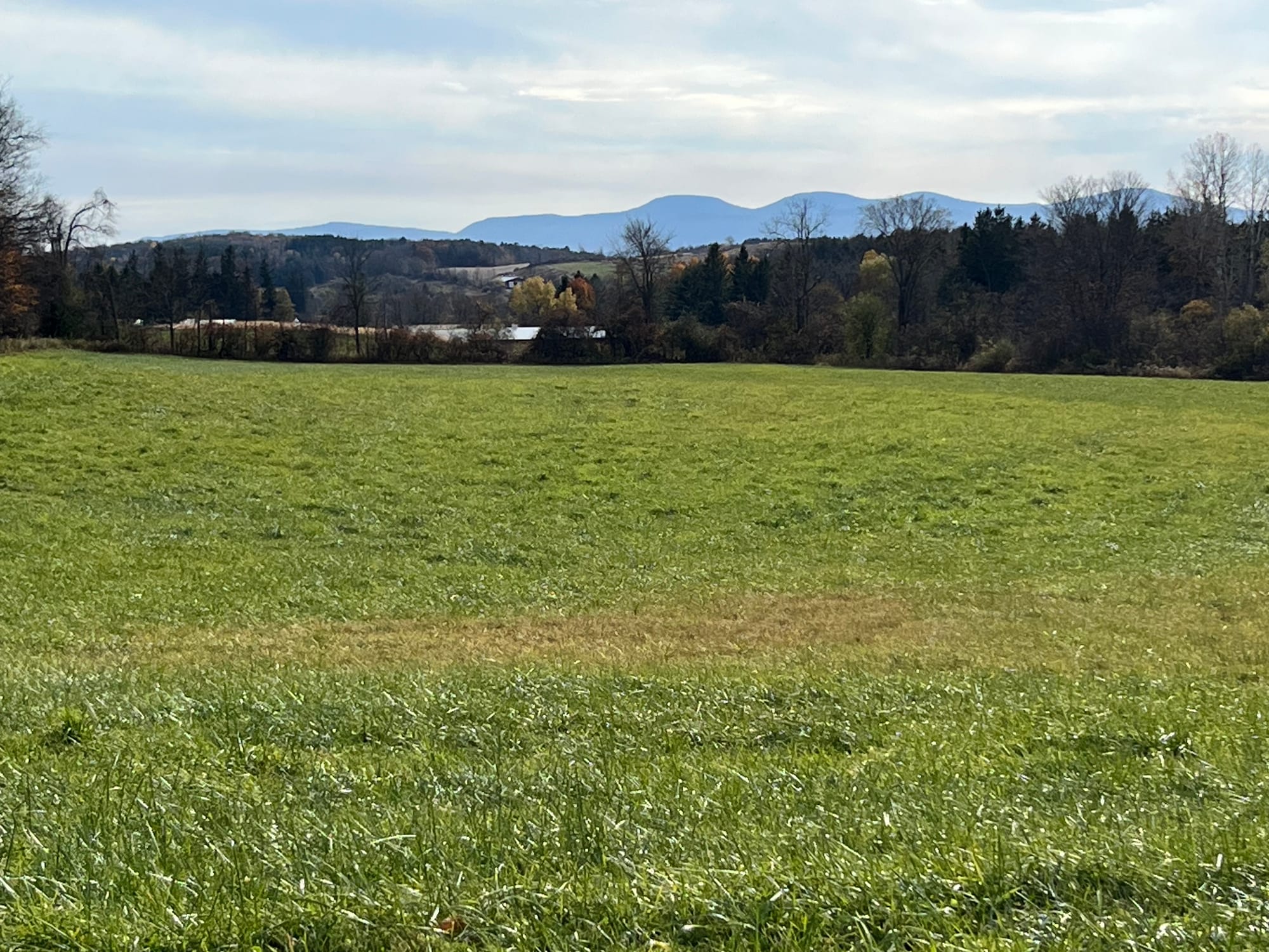
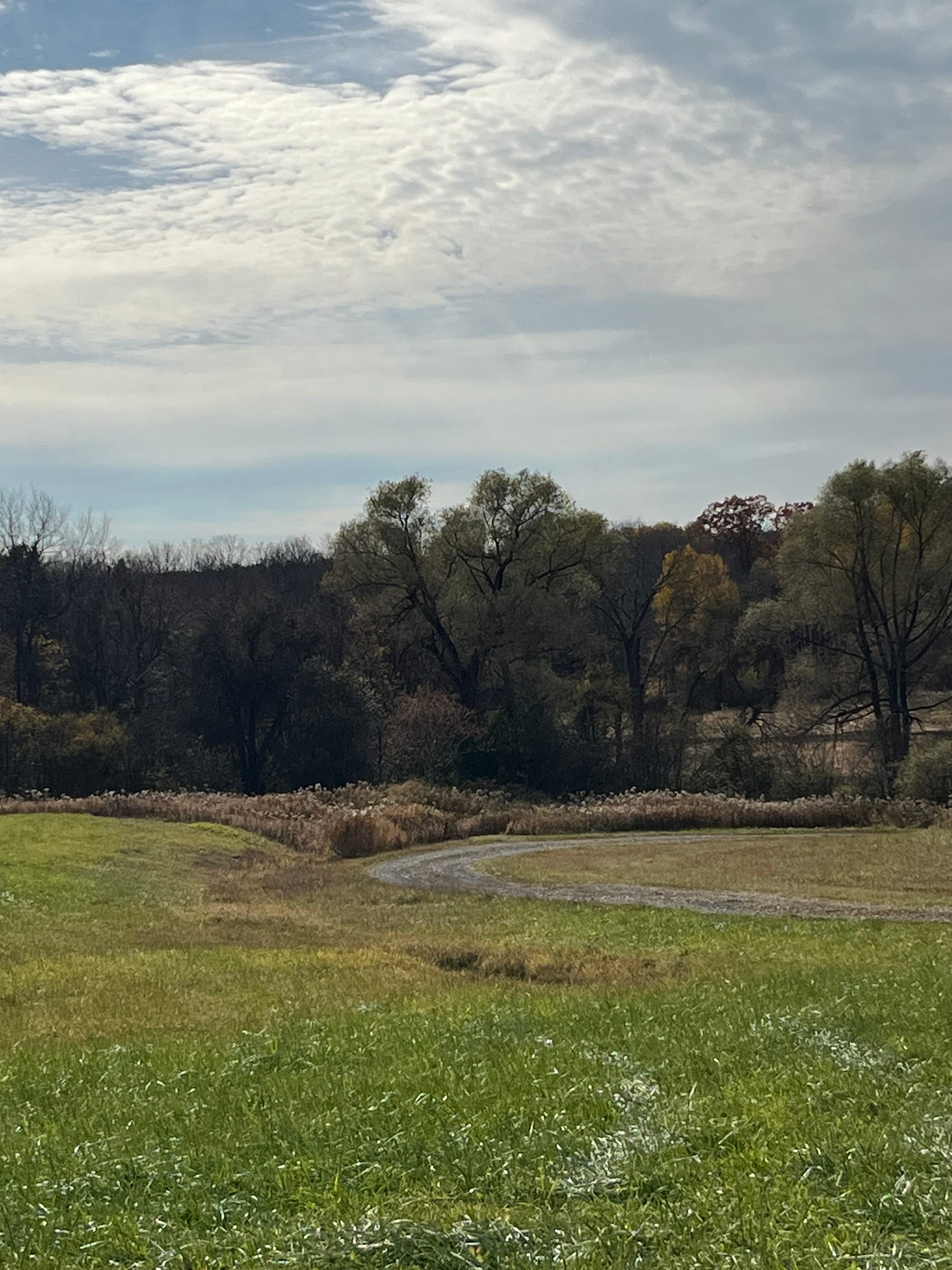
These pictures were in my mind as I turned onto Robinson lane today and met this scene.
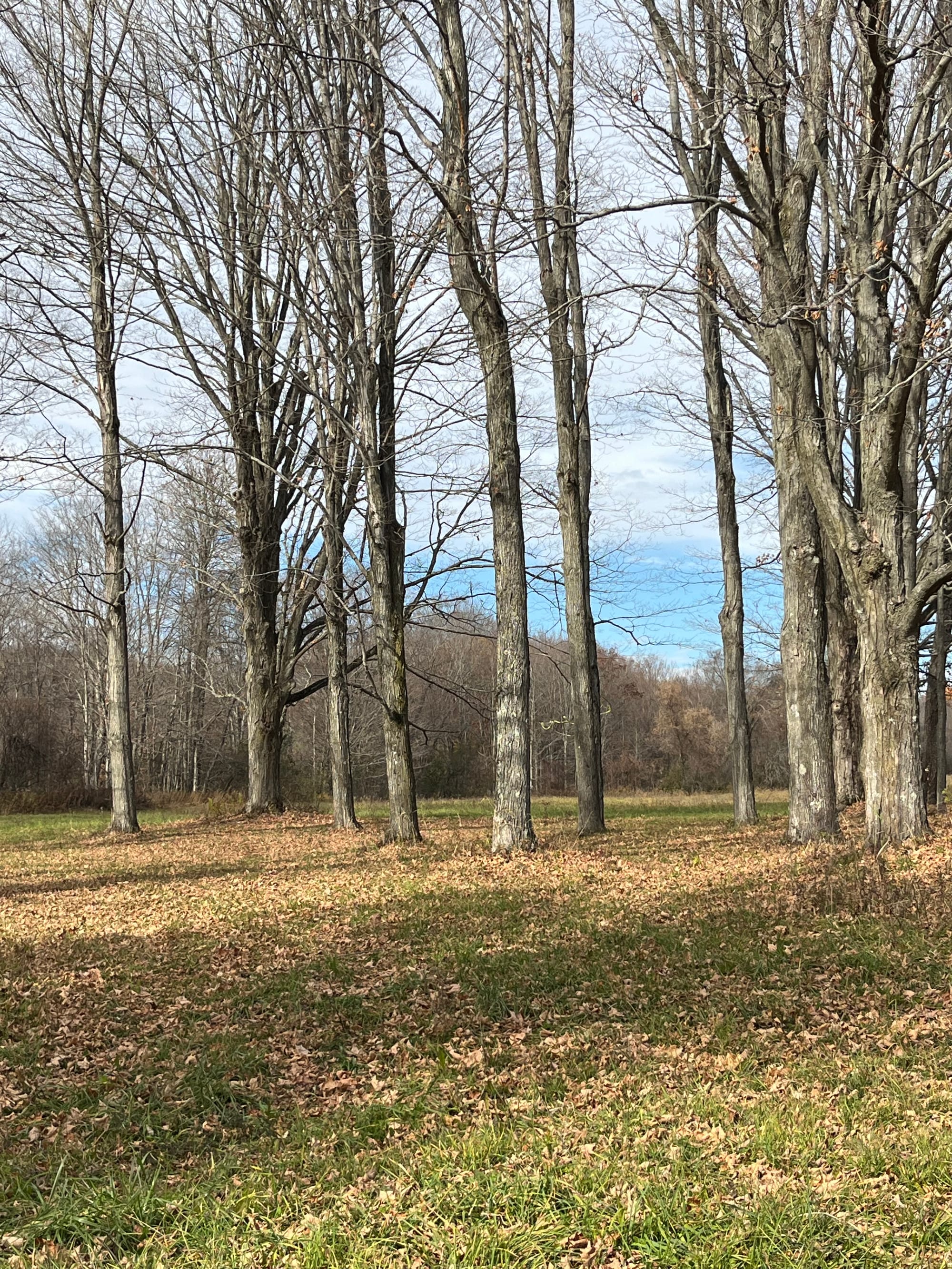
And as Robinson lane became a curving, one lane road descending into the trees, I began to get a little nervous, and turned back.
Thoughts about horses and potentially risky roads recall the fate of Ezekiel's niece, Jane Atkins (1810-1830). According to a statement someone left at Find-A-Grave, Jane died when she was "thrown from a horse while delivering wedding invitations to neighbors." I'd located Jane's grave a few weeks ago, in an overgrown, tumbledown graveyard, next to a crossroads west of Ezekiel's land.
It is good to be finding out more about some women in the family. I'm especially pleased by these pictures of Jane's sister, Julia. One is from youth, and the second, after her marriage to Alexander Hamilton Ford. Such a kind face.
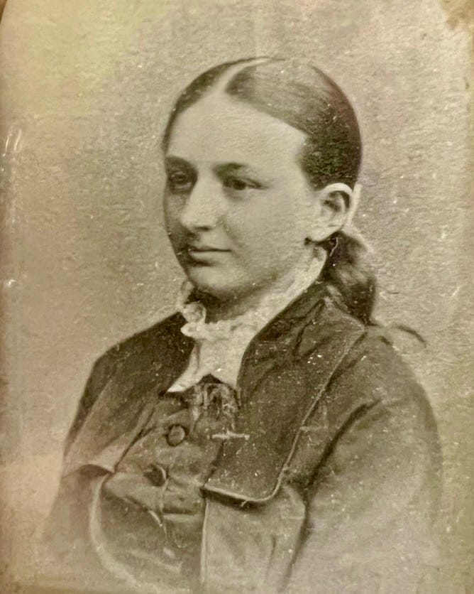
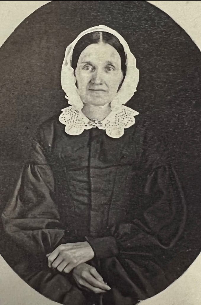
Courtesy of Westerlo town historian, Gayle Hannay
As a Victorianist, I was vaguely aware of the British controversy over what were called the Deceased Wife's Sister Bills, meant to outlaw marriages some considered incestuous. But I didn't understand how common the phenomenon was until I started doing this research.
In the case of Mary Wilsey Atkins' family, it seems that not only did her daughter Maria marry a brother-in-law, George Ford, but after Julia's death, her husband, A.H. Ford, married her sister, Martha Louise. I hope to discover more about their lives.
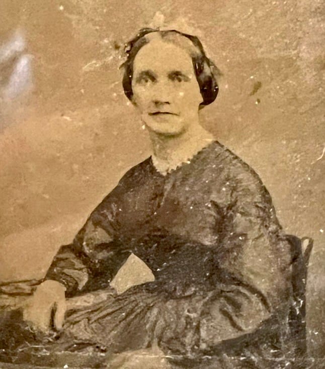
I don't know whether any of these women played a role in the Anti-Rent protests. Many did.
After the farmers' first "revolt" in December, 1839, a reporter for the Microscope had fun painting the Helderberg women as the subject of outrageous rumors:
"the women were all armed with great chopping knives, all bloody and gashy, forming an impregnable body to all invaders . . . they had blown up the bridges, poisoned all the streams, murdered all their children and old folks to have them out of the way, and had sworn to eat nothing but the flesh of their enemies all this winter" (Tin Horns, 32).
In reality, women cooked meals for large groups of Anti-Renters when they held planning meetings or assembled before interfering with agents serving eviction papers. They sewed the "Calico Indian" disguises for their sons and husbands. Women also sounded the alarm when the sheriff was spotted, by blowing their tin dinner horns. Sometimes they formed part of the derisive crowd when agents attempted to hold distraint sales.
One spectator humorously described their scorn at the sheriff's arrival:
"The thirty or forty women on the lawn commenced to laugh, cackle and make other feminine noises, indicating . . . a rather dislike for Sheriff Batterman and his companions (the sheriff is a very good looking man himself, but he is on the shady side of forty and married)" (Tin Horns, 171).
And as Christman notes, sometimes women were bold hecklers:
"Occasionally women took part. Once as Batterman's horses jogged along in the mountain coolness, bound from Albany into the hills beyond Rensselaerville, two women appeared, one mounted and the other on foot. They followed him, alternately blowing tin horns vigorously and pouring out 'the vilest abuse imaginable'" (Tin Horns, 172).
I'd love to know just how vile.
On the drive home today, I left my phone in my bag, to see whether I could remember the route without it. To my right, a young poplar tree shook, shimmering gold in the afternoon sun. To my left, a creek meandered, disappearing and reappearing. In my rear view mirror, the Catskills rose.
On my descent into Albany, I could see the Taconic Range at the Massachusetts border, and the Green Mountains of Vermont in the deep distance. I passed places beloved from before I knew any of this history—Bennett Hill Preserve, Lawson Lake, Five Rivers Environmental Education Center—nature's gems threaded along this road like beads.
How marvelous it is, finding myself here in this relational map through time and space.
A kid who grew up in a house with tulip shutters, in a Dutch immigrant settlement in Iowa with only about twice the population of Westerlo. Now living in a 400-year-old Dutch city in the Hudson Valley below.
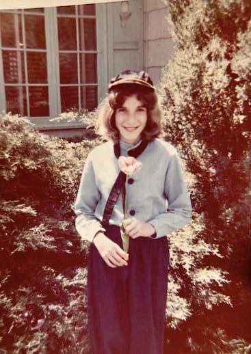
I've started to joke that the Universe likes these sorts of rhymes.
That I am the seventh generation down from the man whose son headed west.
That I have unknowingly returned, to find that my ancestors are "big-breeched Dutchmen," and are my neighbors.
That my home city, now, looked like this when my ancestors lived here—an appearance Pella still tries to replicate:
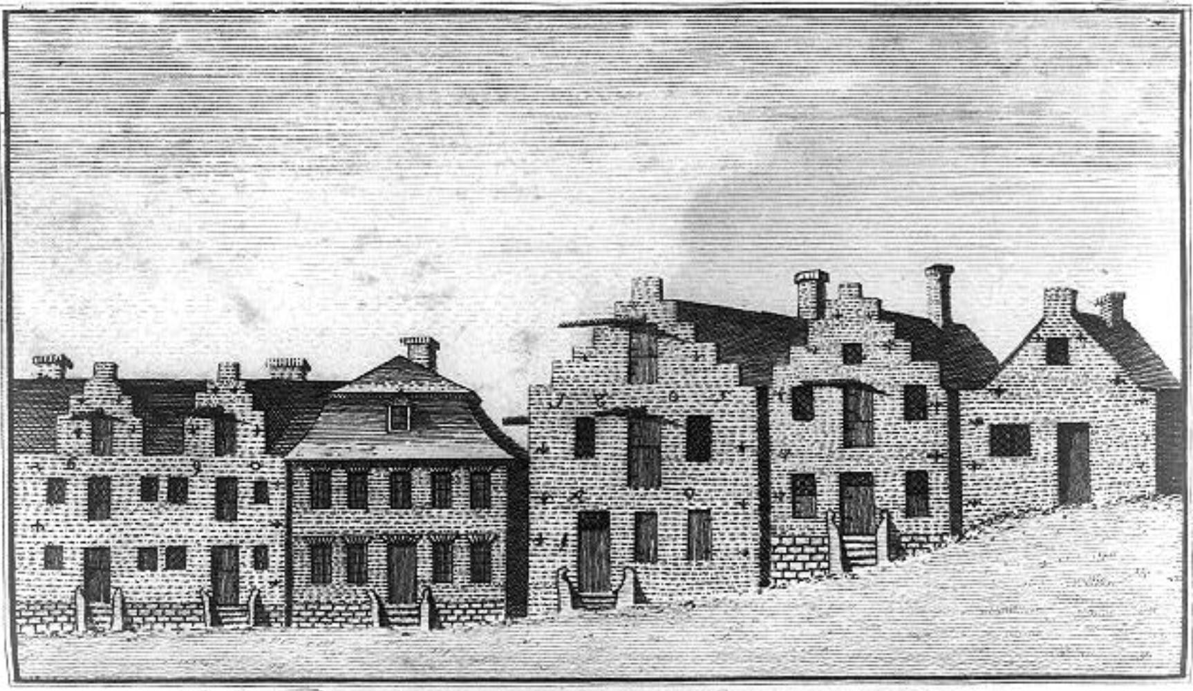
And that my ancestors' contemporary, banker Gorham Worth, would describe the amusing sight of Albany's Dutchmen with their morning pipes:
"I had seen a Dutch house before, but never till then had I seen a row of Dutchmen smoking in a Dutch city. Albany was indeed Dutch, in all its moods and tenses; thoroughly and inveterately Dutch. The buildings were Dutch—in style, in position, attitude and aspect. The people were Dutch, the horses were Dutch, and even the dogs were Dutch." Random Recollections of Albany, from 1800 to 1808
I left Pella, but the joke is on me. And the joke is a gift.
That the rich still get their laws made to order and the rent is too damn high—those are not gifts, but we can work on that.